Diagnose Your Land
Mapping & Monitoring
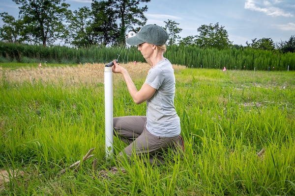
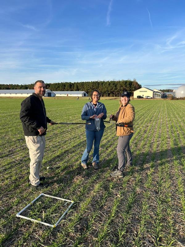
Historical and present day imagery can visualize the progression and impact of salinization across landscapes throughout the Mid-Atlantic. In addition to mapping, farmers, landowners and researchers can measure salinity levels in soils and waterways (e.g., standing water, ditches, drains, tidal channels). On this page you can learn more about how these measurements are taken, interpreted, as well as interact with salinity maps to understand how to diagnose your own land.